
NOAA

NOAA
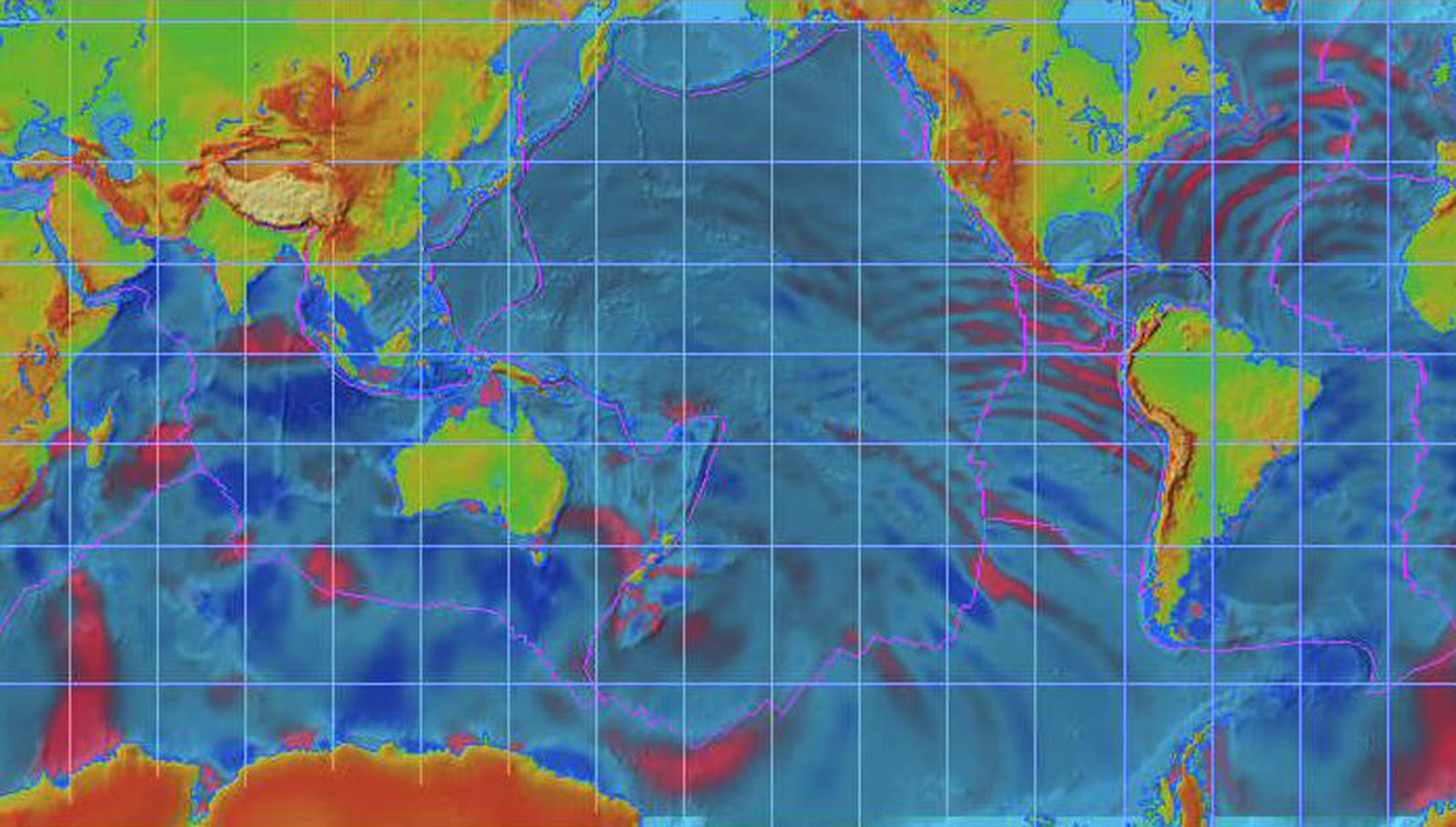
ANIMATION SHOWS WORLDWIDE REACH OF INDIAN OCEAN TSUNAMI
The massive
tsunami triggered by an undersea earthquake in the Indian Ocean literally
rippled around the world. NOAA scientist Vasily Titov, using seismic data,
rendered an animation showing how the tsunami waves propagated across the
Earth. Some of the waves reached the United States and many other nations
outside the Indian Ocean.
NOAA screen
capture of Indian Ocean tsunami propagating across the world.
Click NOAA
screen capture for larger view of tsunami worldwide propagation. Click here for
high resolution version. Please credit "NOAA."
Titov used
the numerical model called Method of Splitting Tsunami, or MOST. He used this
model hours after the tsunami first struck showing the quake’s epicenter and
how the tsunami moved across the Indian Ocean.
The
animation covers a period of 44 hours and 27 minutes of tsunami propagation.
The tsunami reached the Atlantic and Pacific coasts of the United States about
the same time—some 28 hours after the earthquake struck on Dec. 26, 2004, at
00.59 UTC or 7:59 p.m. EST. The MOST model also was used to interpret the data
for the tsunami's wave height from four satellites.
Please
credit “NOAA” in your Chyron or in print.
Please
note: "Right-click" the links below to download the very large files.
MPG || AVI
|| MOV
NOAA
Tsunami Research
http://www.noaanews.noaa.gov/stories2005/s2365.htm
http://www.noaanews.noaa.gov/stories2005/s2365.htm
SATAKE


Keine Kommentare:
Kommentar veröffentlichen